


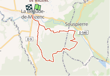

7.1 km | 8.2 km-effort

User


FREE GPS app for hiking
 SityTrail
IGN / Geographical institutes
SityTrail World
The world is yours!
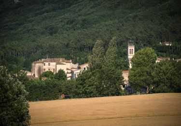
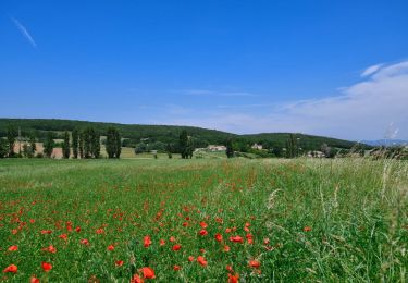
Trail Walking of 8.3 km to be discovered at Auvergne-Rhône-Alpes, Drôme, La Bégude-de-Mazenc. This trail is proposed by chancha.
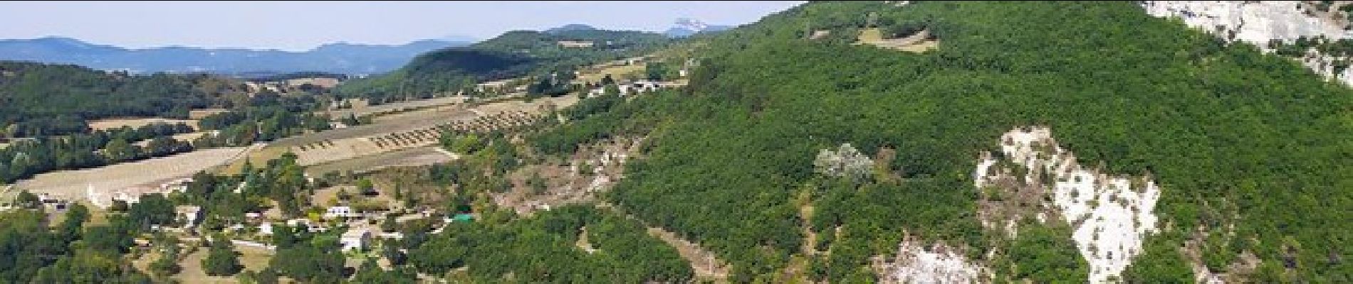
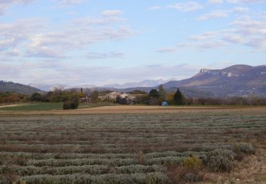
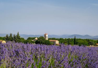
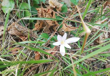
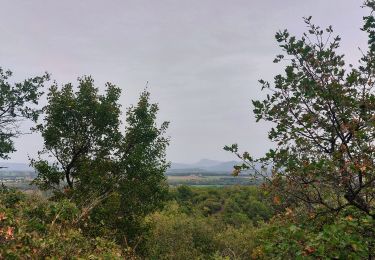
Une boucle variée au-dessus de la Bégude avec de beaux points de vue notamment depuis le belvédère du Serre de Forillon. Si l’ensemble est relativement facile, quelques montées un peu raides demanderont un petit effort au promeneur.


Walking
Walking
Walking

Walking

Cycle

On foot
Walking
Walking
Walking